2GIS is your ultimate navigation and city exploration tool, offering a comprehensive suite of features to enhance your travel experience. Whether you're driving, walking, or using public transit, 2GIS provides offline maps, GPS navigation, live traffic updates, parking information, and transit routes, ensuring you're never lost, even without an internet connection.
With 2GIS, you'll feel right at home in any new city:
- Easily locate addresses, businesses, phone numbers, operating hours, and find specific goods or services.
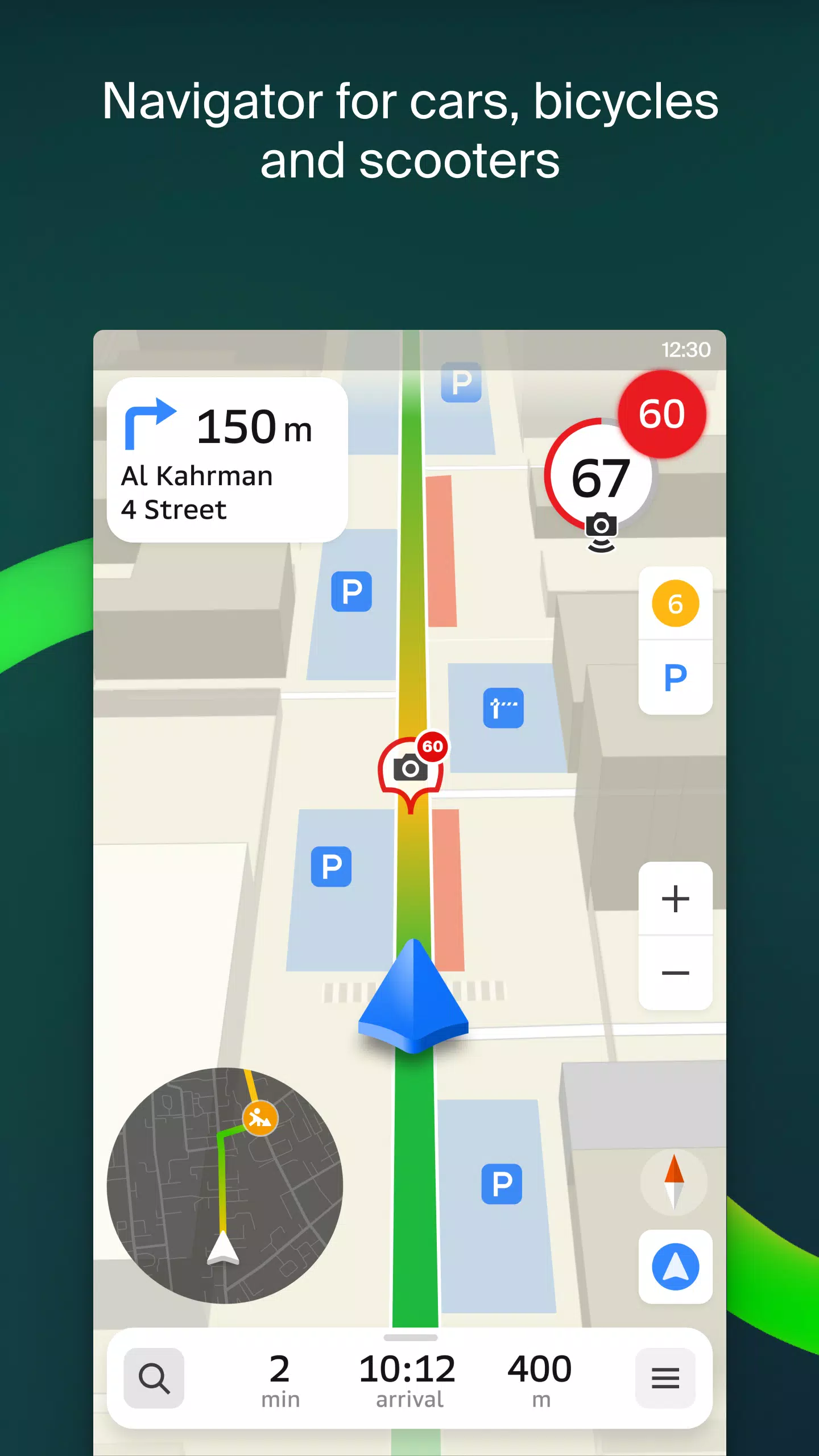
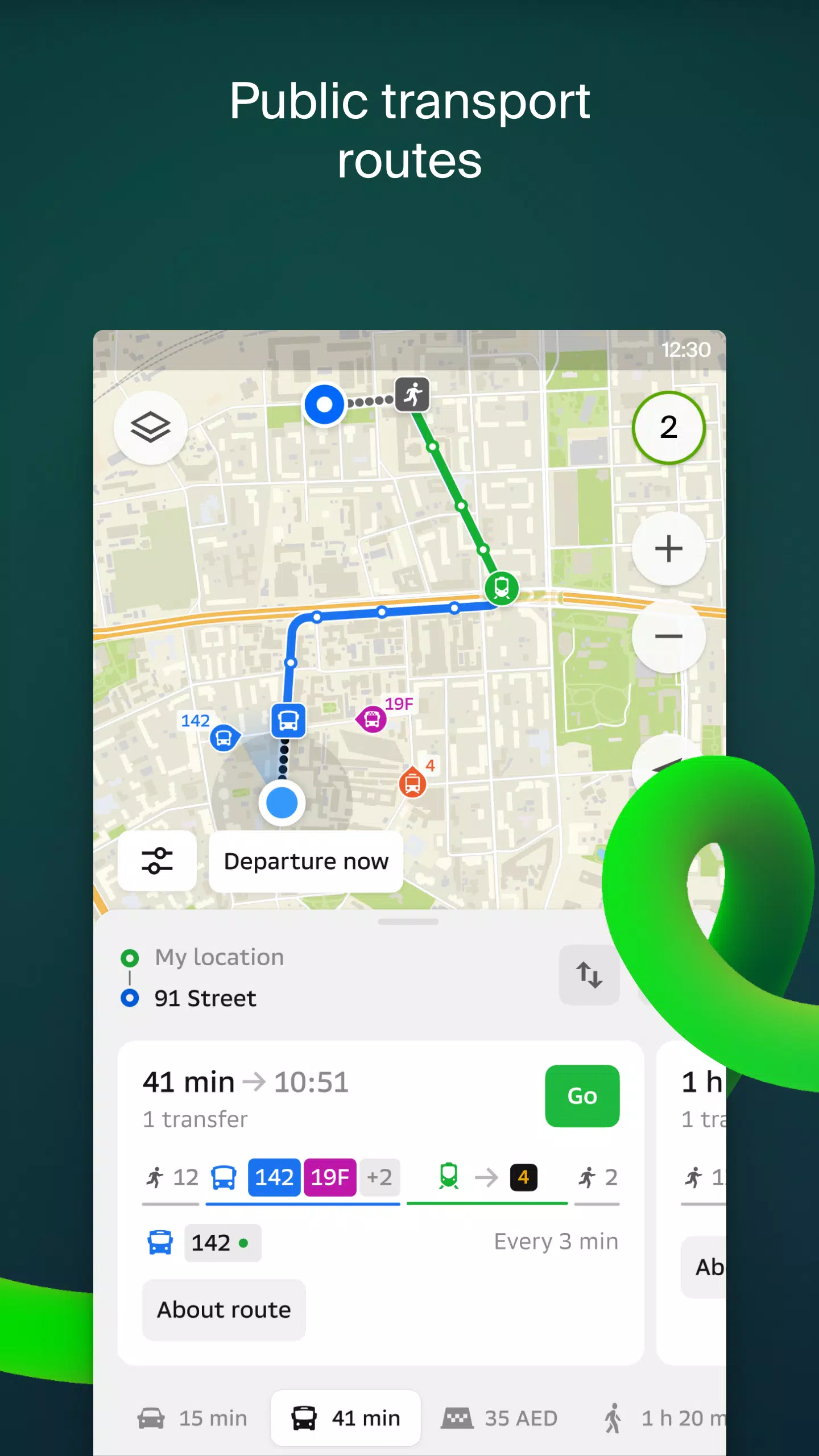
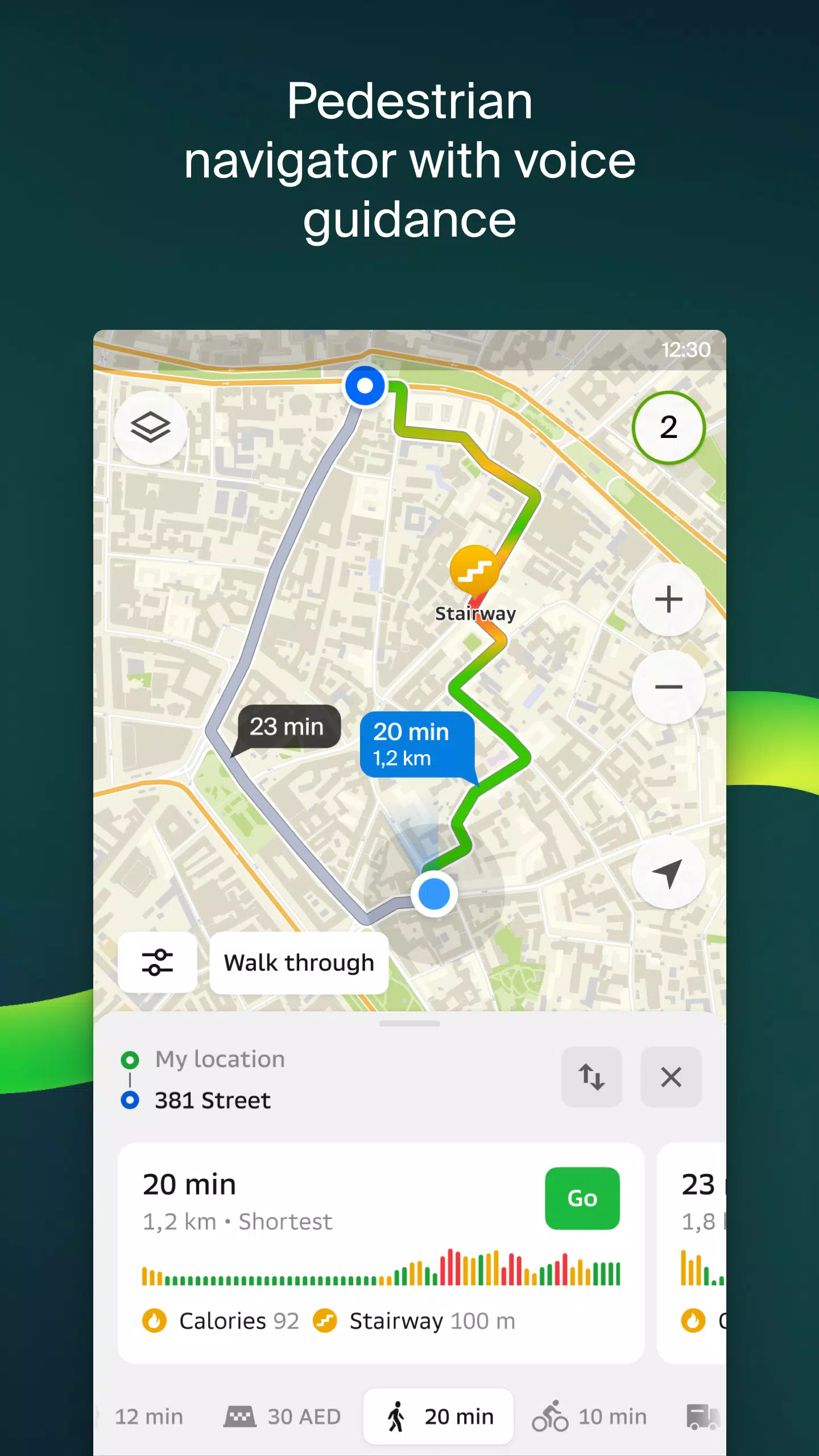
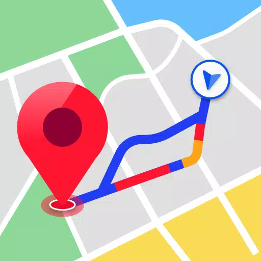
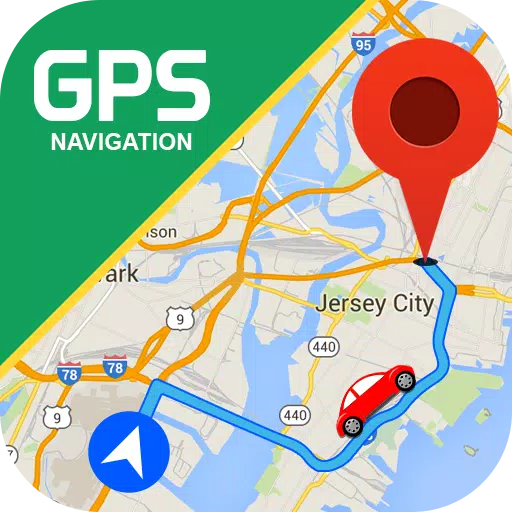
- Navigate to your destination by car, bus, subway, or follow pedestrian routes with voice guidance.
- Find building entrances and nearby parking lots effortlessly.
Our maps are meticulously detailed, helping you pinpoint districts, buildings, streets, bus stops, subway stations, gas stations, sports facilities, and more.
2GIS's GPS navigation system takes into account real-time traffic conditions, road signs, speed cameras, toll roads, and unpaved routes, offering optimal routes between cities and through multiple points. It's also compatible with Android Auto for a seamless driving experience.
Stay connected with friends and family through the live location feature, which allows you to track the GPS location of your loved ones for added safety. You can send fun stickers and monitor their battery levels, with full control over who can see your location.
Stay informed with real-time road event updates, including accidents, blocked streets, and speed camera locations, all displayed directly on the map.
For public transport users, 2GIS provides up-to-date timetables and online route information, making your commute smoother.
Pedestrians can rely on 2GIS for walking routes that guide you wherever you need to go, with background operation and voice guidance for a hassle-free experience.
Truck drivers benefit from specialized navigation that considers the unique characteristics of their vehicles and cargo, ensuring safe and efficient routes.
Explore cities with our detailed directory, which includes addresses, entrances, postal codes, phone numbers, operating hours, social media links, websites, and user-generated photos and reviews of businesses.
As a travel guide, 2GIS highlights main attractions, places with Wi-Fi, and other points of interest, enriching your travel experience.
For smartwatch users, the 2GIS Notifications companion app on Wear OS 3.0 or later versions offers a convenient way to navigate routes on foot, by bike, or by public transport, with map viewing, maneuver hints, and vibration alerts for turns and destination bus stops.
Available maps cover cities in the UAE, Russia, Belarus, Kazakhstan, Uzbekistan, Azerbaijan, and Kyrgyzstan, including Dubai, Moscow, Minsk, Almaty, and many more.
For any support, reach out to us at [email protected].