Introducing the definitive HEMAV app, designed to revolutionize how you monitor your fields directly from your mobile device. With this cutting-edge tool, you'll have access to the agronomic reports and recommendations generated by HEMAV LAYERS, a sophisticated blend of Artificial Intelligence and drone and satellite technology that optimizes your farming practices.
Here's what you can do with the app:
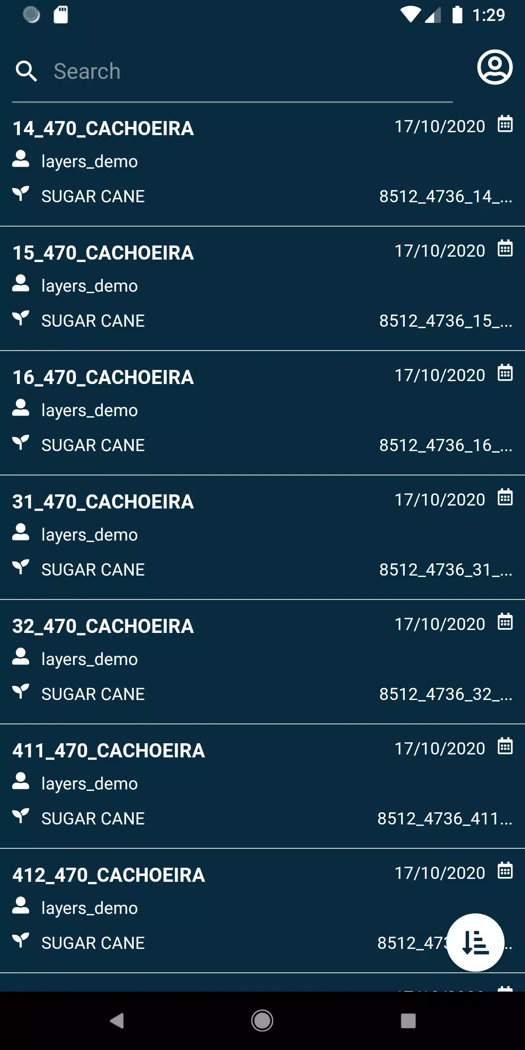
- View Fields: Get a clear, real-time overview of your fields at any time.
- Search Fields: Use a variety of filters to quickly find specific fields, making your monitoring process more efficient.
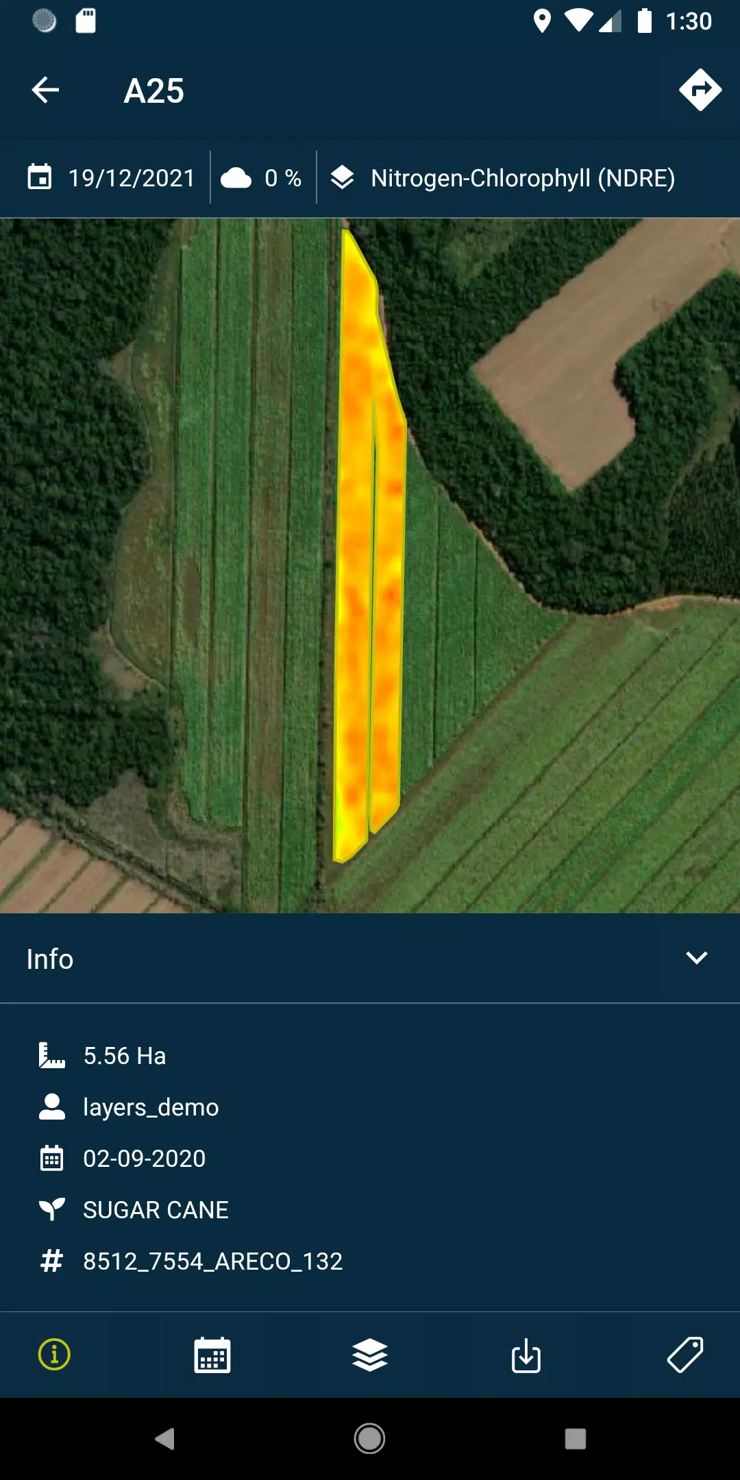
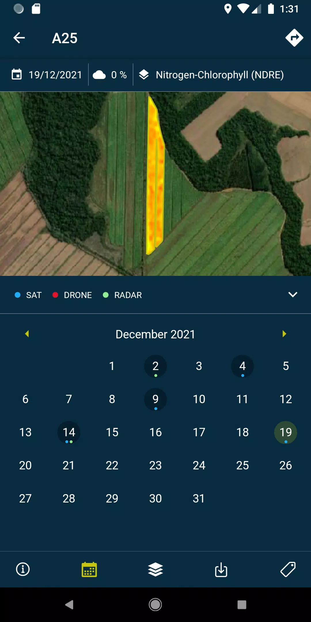
- Visualize Layers: Access and review the detailed reports and recommendations, along with PDFs, generated from each field's drone or satellite data, available both online and offline for your convenience.
- Take and Geolocate Photos: Capture field photos, geolocate them, and add comments to maintain comprehensive control over your agricultural activities.
- Perform Surveys: Conduct field surveys and seamlessly integrate the data into the system for further analysis and processing.
Please note, this app requires a subscription to HEMAV's suite of products.
INFORMATION ABOUT THE HEMAV PRECISION AGRICULTURE SERVICE:
HEMAV's precision agriculture service leverages the power of Artificial Intelligence through its LAYERS software. This service provides the agricultural sector with targeted agronomic recommendations, helping to enhance treatment efficiency and generate precise crop production estimates, both in terms of quantity and quality.
What's New in the Latest Version 2.8.5
Last updated on Oct 19, 2024
- Bug fixes: Improved the process for pending sample uploads and enhanced cloud coverage filtering for better data accuracy.